Tmap: Possible to have degrees on tm_grid labels?
Is it possible within to have tm_grid labels have degrees symbols when plotting lat/long data, a la the sf plotting function illustrated below? Imo this makes the tick labels (or in tmap's current option, grid labels) nicer when plotting lat/long spatial data. And if not and this is an easy addition, could this be added as an enhancement? Thanks!
library(sf)
library(spData)
library(tmap)

nz.ll <- st_transform(nz, 4326)

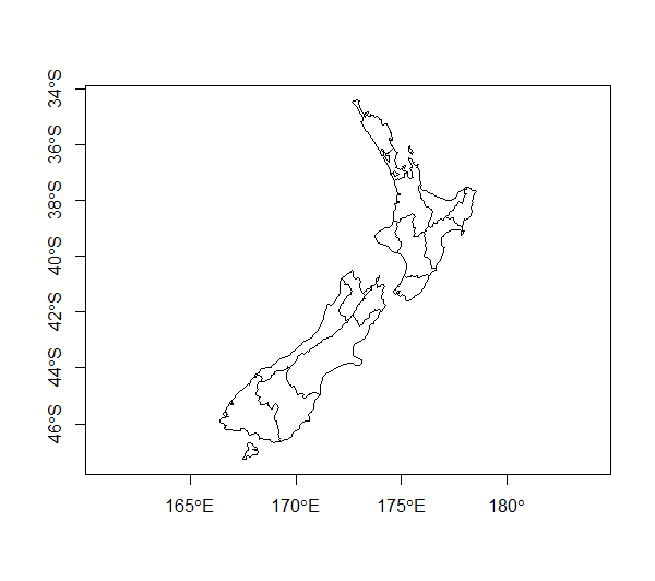
# Default sf version; axis tick labels include '°E' or '°S' (or '°W' or '°N' if map is of that part of the world)
plot(st_geometry(nz.ll), axes = T)
# Default tmap version
tm_shape(nz.ll) +
  tm_borders() +
  tm_grid()

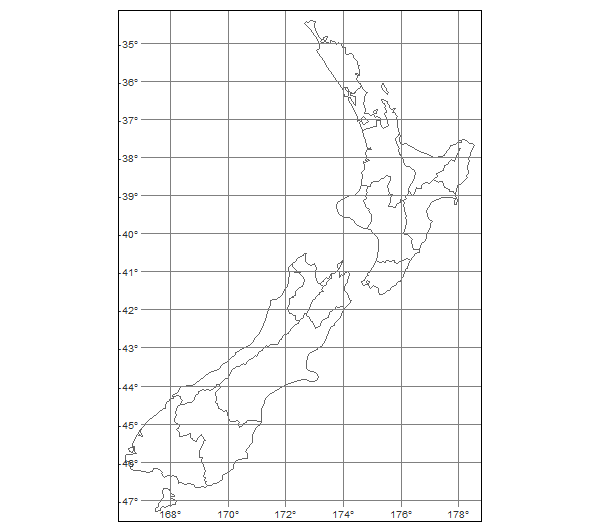
# tmap with only degrees symbols - not sure how to differentiate between x and y labels for E/W or N/S addition to label
tm_shape(nz.ll) +
  tm_borders() +
  tm_grid(labels.format = list(fun = function(i) parse(text = paste(i, "*degree"))))
enhancement
 smwoodman
👍1
All 2 comments
Thanks for this suggestion! It would make sense to use degrees as default for lat/lon coordinates.
 mtennekes
on 8 Aug 2018
mtennekes
on 8 Aug 2018
👍2
It's here! https://github.com/mtennekes/tmap/issues/315
 Nowosad
on 19 Jun 2019
Nowosad
on 19 Jun 2019
🎉1
Was this page helpful?
0 / 5 - 0 ratings
Related issues
 dylanbeaudette
·
3Comments
dylanbeaudette
·
3Comments
 jannes-m
·
5Comments
jannes-m
·
5Comments
 prosoitos
·
5Comments
prosoitos
·
5Comments
 Robinlovelace
·
4Comments
Nowosad
·
5Comments
Robinlovelace
·
4Comments
Nowosad
·
5Comments
Most helpful comment
Thanks for this suggestion! It would make sense to use degrees as default for lat/lon coordinates.