Openstreetmap-carto: Dividing lines between residential areas
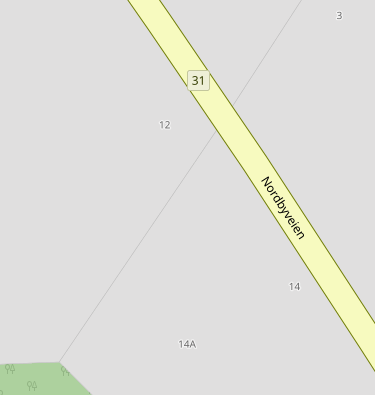
On the screenshot of the standard map (https://www.openstreetmap.org/#map=19/59.72246/10.25500) there are residential areas (landuse=residential) located right next to each other,
and a dividing line appears between them.
I think it's wrong to display dividing lines between residential areas. Just looks bad and can't see any reason why.
 FTno
FTno
All 4 comments
@FTno, lines between subdivisions and individual plots.
https://www.openstreetmap.org/#map=17/40.59947/-122.36880
https://www.openstreetmap.org/#map=18/40.50048/-122.31693
I didn't like it myself at first, but I got used to it eventually and now I think it adds extra context. If there was no line, there would be no way to tell where a subdivision boundary is. Especially one that's next to another subdivision. The map currently has that problem parks, which don't display boundary lines.
The line on the link you provided is either arbitrary and can be changed, or denotes the line between subdivisions/hamlets/whatever. So it serves the purpose of showing the difference between two places. Even if it might look off.
 Adamant36
on 6 Oct 2018
Adamant36
on 6 Oct 2018
I have seen such dividing lines several places on the map, and they have seemed to me to be arbitrary. Someone have drawn a residential area and later another area has been drawn next to it and so forth. Those areas can of course just be merged, but that could mean a lot of work.
Since I now understand that this is an intentional behaviour and in some cases serves a purpose (like in the two example links above), I close this issue.
FTno
on 6 Oct 2018
Feel free to merge them. I don't think anyone will mind. There's a lot of places in California where I had to do that and I haven't gotten any hateful messages about it yet (fingers crossed). I think a lot of it has to with do with bad imports. It can be a lot of work to deal with and it sucks having to clean up other people's bad mapping, but I think it will ultimately make the map better. Good luck ;)
Adamant36
on 6 Oct 2018
If there is a reason to draw the residential areas separately, that should be recognisable. I know some locations where the residential areas have names, so I'd like to see the boundary of that named area.
 polarbearing
on 6 Oct 2018
polarbearing
on 6 Oct 2018
Related issues
 meased
·
3Comments
meased
·
3Comments
 lakedistrictOSM
·
3Comments
lakedistrictOSM
·
3Comments
 d1g
·
4Comments
d1g
·
4Comments
 Thorwynn
·
3Comments
Thorwynn
·
3Comments
 dktue
·
4Comments
dktue
·
4Comments