Openmaptiles: Transparent islands in France
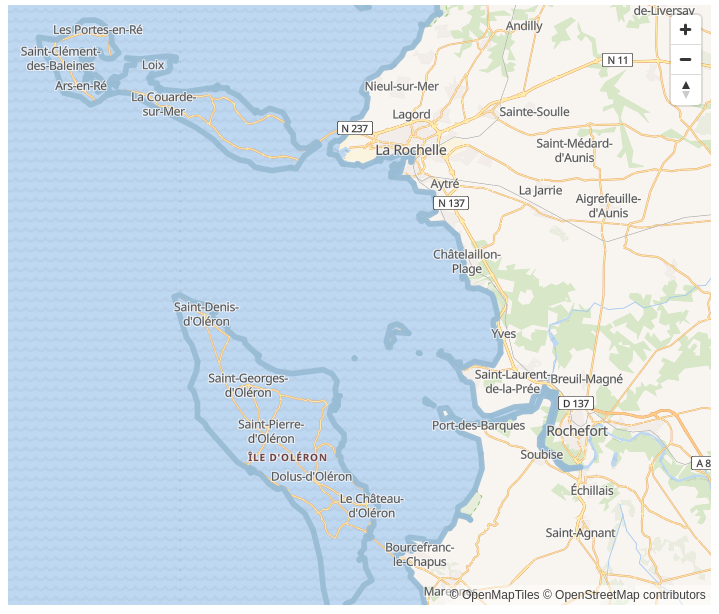
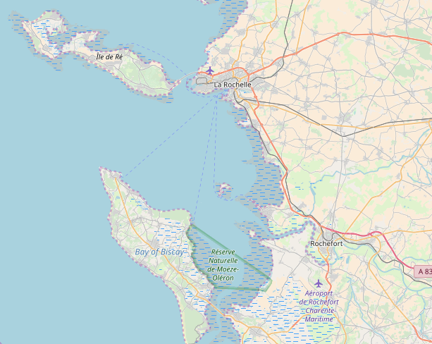
OpenStreetMap has normal islands that are transparent at OpenMapTiles. There are no land polygons in OpenMapTiles vector tileset at this place.
https://maputnik.github.io/editor/#10/46.0698/-1.4028
OpenMapTiles:
OSM:
 maxkey
All 4 comments
This is a layer ordering issue. The water layer is drawn over the top of the landcover areas, and so hides the islands.
 freeman40
on 8 Jun 2018
freeman40
on 8 Jun 2018
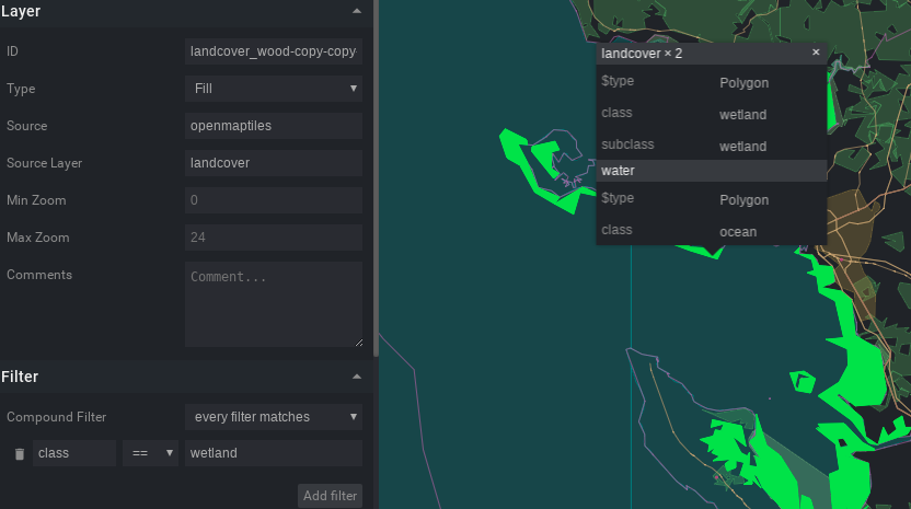
Most of the island areas "missing" are class = wetland (from source layer landcover) and
class = lake (from source layer water).
class = wetland
class = lake
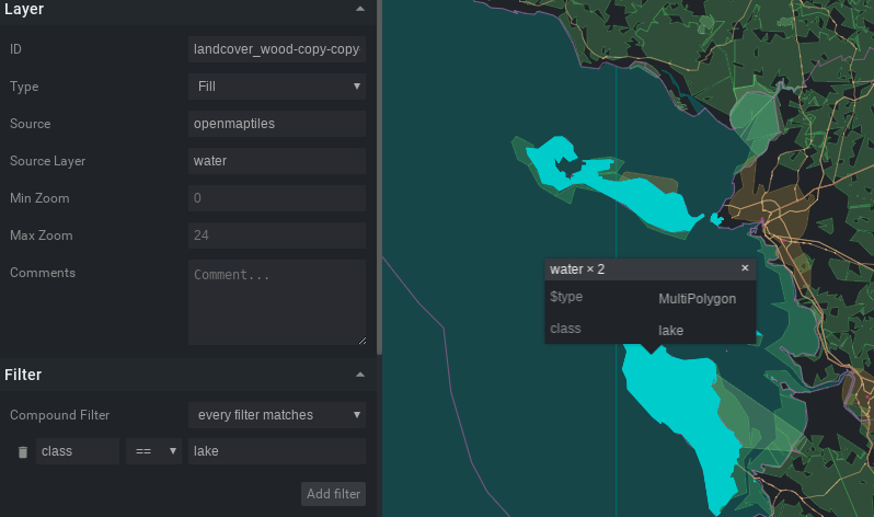
On the OSM screenshot there are no such big lakes visible, so the areas with class = lake are likely a problem with the vector tile source.
The missing wetland layer could be added to the style but could have side effects for other areas.
The problem exists also with other OMT styles.
 pathmapper
on 8 Jun 2018
pathmapper
on 8 Jun 2018
It's not layer ordering issue. We do not encode islands (or generally land) polygons into openmaptiles. The problem here is that water filled islands in Bay of Biscay, because someone broke it's outer ring few weeks ago. I've fixed it 3 days ago:
https://www.openstreetmap.org/changeset/59569530
The fix should be automatically propagated to free.tilehosting.com next week.
 jirik
on 8 Jun 2018
jirik
on 8 Jun 2018
@jirik Oops, yes you're right. One cannot solve this by moving the water layers to be beneath the landcover layers because then things like lakes on golf courses would not show up. Sorry, I had a momentary brain lapse.
freeman40
on 8 Jun 2018
Related issues
 Rajavelu
·
3Comments
Rajavelu
·
3Comments
 nyurik
·
7Comments
nyurik
·
7Comments
 taoweibang
·
4Comments
taoweibang
·
4Comments
 sheub
·
4Comments
sheub
·
4Comments
 klokan
·
5Comments
klokan
·
5Comments
Most helpful comment
It's not layer ordering issue. We do not encode islands (or generally land) polygons into openmaptiles. The problem here is that water filled islands in Bay of Biscay, because someone broke it's outer ring few weeks ago. I've fixed it 3 days ago:
https://www.openstreetmap.org/changeset/59569530
The fix should be automatically propagated to free.tilehosting.com next week.