Streetcomplete: Make getting the country for GPS pos more performant
Getting a country for a given set of GPS coordinates is quite heavy on the CPU because it's a point-in-polygon-check for quite some big polygons.
 westnordost
👍1
All 6 comments
(Would make it possible to make the country-blacklist/whitelist more precise as well)
westnordost
on 24 Jan 2018
https://stackoverflow.com/questions/3659809/where-am-i-get-country#19415296
Variant listed there:
- get via SIM (getNetworkCountryIso)
- via IP (as the online service) using an ip database as flagfox
 rugk
on 24 Jan 2018
rugk
on 24 Jan 2018
Where a point is, not where you yourself are. Don't worry, I do know exactly what to do.
westnordost
on 24 Jan 2018
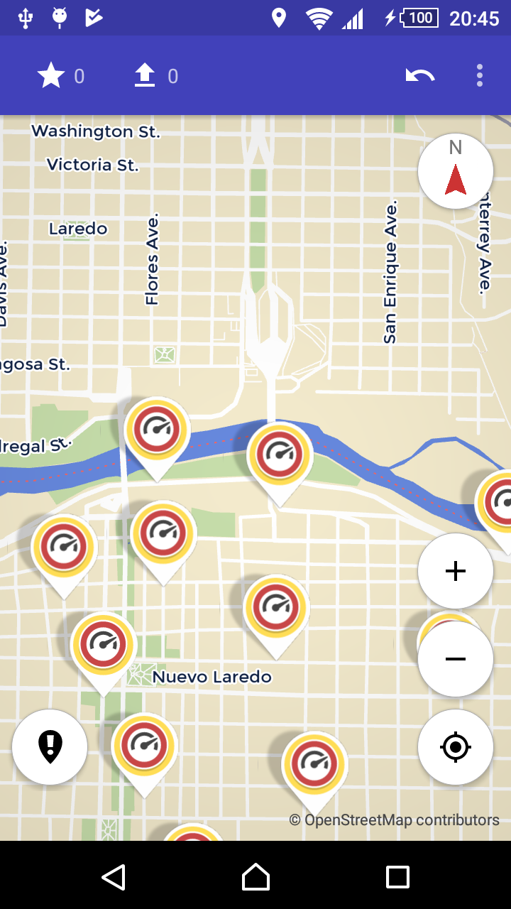
Success! (AddMaxSpeed is disabled in US, but not in Mexico)
westnordost
on 18 Mar 2018
👍1
Finally got this off my todo list.
In the last 2 weeks, I worked on this: https://github.com/westnordost/countryboundaries
westnordost
on 18 Mar 2018
👍3
Awesome! 🎉
rugk
on 19 Mar 2018
Was this page helpful?
0 / 5 - 0 ratings
Related issues
 HolgerJeromin
·
3Comments
HolgerJeromin
·
3Comments
 monikarora
·
3Comments
westnordost
·
3Comments
monikarora
·
3Comments
westnordost
·
3Comments
 escoand
·
4Comments
escoand
·
4Comments
 nmxcgeo
·
3Comments
nmxcgeo
·
3Comments
Most helpful comment
Finally got this off my todo list.
In the last 2 weeks, I worked on this: https://github.com/westnordost/countryboundaries